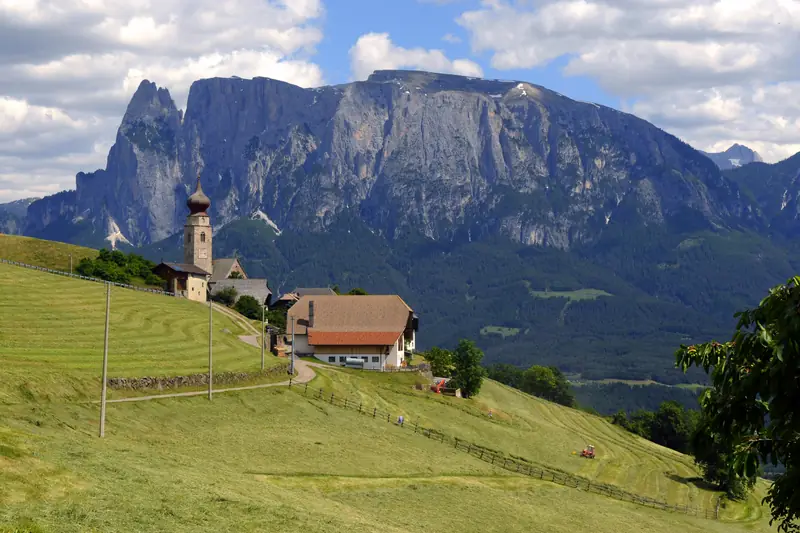
Path of the Stars from Gummer|San Valentino to Steinegg|Collepietra
📍 Steinegg, Karneid, Dolomitenregion Eggental
- km
- 12.2
- Duration
- 3 h 27 min
- Ascent
- 334 m
- Highest point
- 1326 m
- Difficulty
- medium
Medium family hike near Steinegg, South Tyrol: 12.2 km, about 3 h 27 min, 334 m ascent. Highest point 1326 m.
- 🗺️ Open in maps
- ℹ️ More info (tourist office)
- Source: suedtirol.info, tourism.api.opendatahub.com · Retrieved 2026-10-18