SüdtirolKids

← Back to list

The Pflerschtal valley
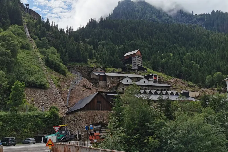
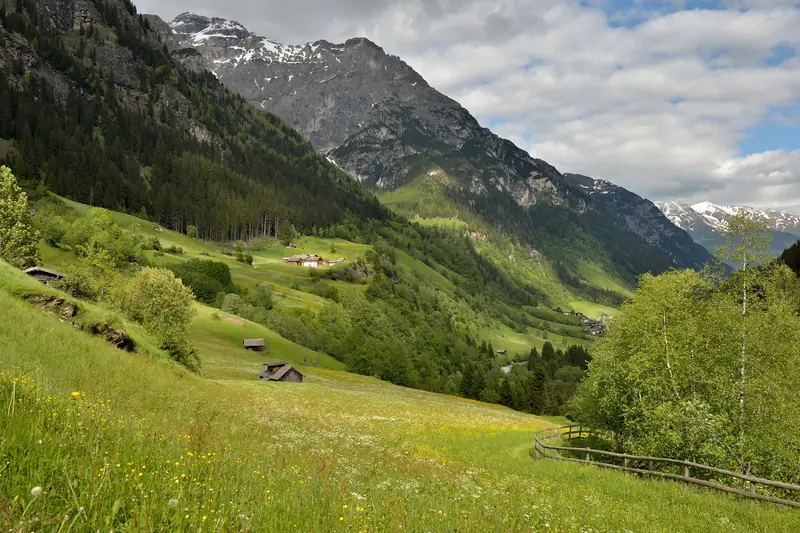
The Pflerschtal valley · Photo: This Photo was taken by Wolfgang Moroder. Feel free to use my photos, but please mention me as the author and send me a message. This image is not in the public domain. Please respect the copyright protection. It may only be used according to the rules mentioned here. This specifically excludes use in social media, if applicable terms of the licenses listed here not appropriate. Please do not upload an updated image here without consultation with the Author. The author would like to make corrections only at his own source. This ensures that the changes are preserved.Please if you think that any changes should be required, please inform the author.Otherwise you can upload a new image with a new name. Please use one of the templates derivative or extract. / Wikimedia Commons, CC BY-SA 3.0
Hike

Waterfall Trail in the Pflersch/Fleres Valley

📍 Pflersch, Brenner, Sterzing und Umgebung

☀️ Summer

km
4.2
Duration
2 h 2 min
Ascent
302 m
Highest point
1478 m
Difficulty
easy

Easy family hike near Pflersch, South Tyrol: 4.2 km, about 2 h 2 min, 302 m ascent. Highest point 1478 m.

Nearby

The weekend newsletter for families in South Tyrol

Every Thursday: 5 family events, 1 stroller-friendly hike, 1 rainy-day tip. Free, unsubscribe any time.

Subscribe

Sign-up happens on beehiiv, our newsletter service. Unsubscribe in every email. Details: Privacy policy